Places & Travel
Algarvensis UNESCO Global Geopark: What to See and How to Visit
Visit rock formations, a working salt mine and traces of the 1755 tsunami in the Algarve’s newly designated UNESCO geopark.
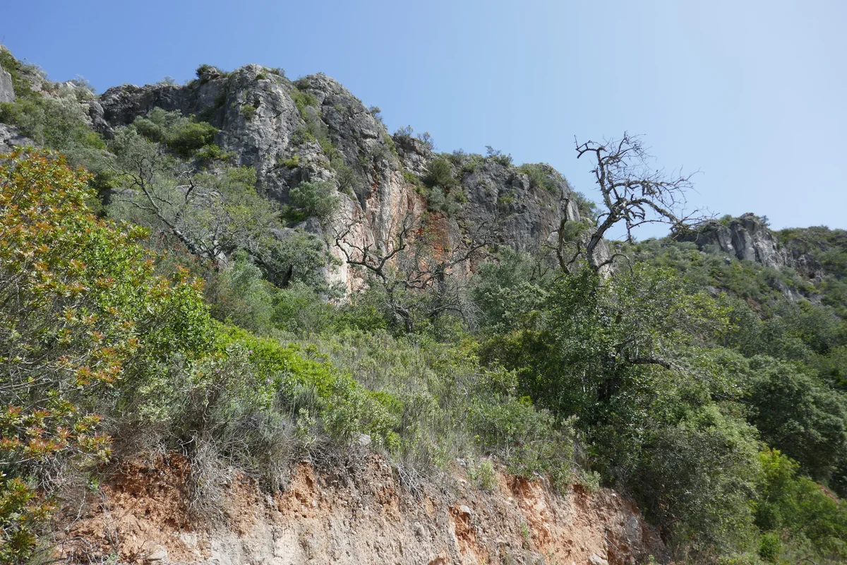
Algarvensis became a UNESCO Global Geopark in April 2026. For a first visit, choose a small group of sites around Loulé or the Silves–Salgados area. A car makes the inland stops easier, while a public-transport visit works best around one town with the last connections arranged in advance.
Where exactly is the geopark?
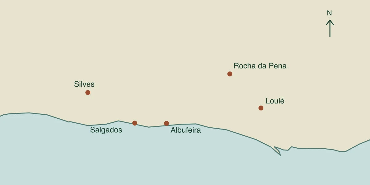
The designated territory covers Loulé, Silves and Albufeira, including coastal and marine areas. Loulé municipality gives an area of 2,427 km². Older material describing an inland territory north of the EN125 refers to the earlier project boundary.
The current geopark map identifies 41 geosites. This is a regional network of geological places, towns and institutions, not a single park with an entrance gate. The UNESCO designation is a Global Geopark status, distinct from World Heritage inscription.
Which geological places are worth building a day around?
Rocha da Pena is a limestone and dolomite ridge in the Barrocal, the belt between the coast and the northern hills. Its PR18 circular trail is 6.4 km, with a suggested walking time of about two hours. Allow longer for stops and children. The rocky climb is unsuitable for a wheelchair or pushchair.
Salgados holds sediment deposited by the 1755 tsunami. Walk beside the lagoon to see the coastal setting, then use the geopark’s interpretation or a guided activity to learn how geologists read those deposits.
The red rocks around Penina preserve evidence of the Triassic amphibian Metoposaurus. Arrifes has tilted marine limestone beds on the coast. Fossil-bearing sites are not collecting grounds. Check the official map and access arrangements before leaving the marked route.
What is the Loulé salt-mine visit like?
TechSalt takes visitors 230 metres underground at the Campina de Cima mine. The guided walk is about 1.3 km. A cage carries up to seven people down the shaft, and the operator provides a helmet, lamp and reflective vest. The temperature stays around 23–24°C.
The minimum age is six, and children aged six to twelve must be accompanied by an adult. The mine has no facilities for visitors with reduced mobility and does not admit guide dogs.
Individual advance booking is not compulsory under the operator’s FAQ. Reserve a time if the rest of your day depends on the visit, and confirm the current ticket and departure time with TechSalt. Parking is available within the mine site. The tourism contact is +351 925 969 369.
Which museum can you combine with the geology?
Loulé’s municipal archaeology museum is in the castle complex at Rua Dom Paio Peres Correia, 17. Pair its collections with a walk around the castle and the surrounding old town.
Cultura Portugal lists June–September opening from 10:00 to 18:00 Tuesday to Friday and 10:00 to 16:30 on Saturday. October–May hours are 09:30–17:30 Tuesday to Friday and 09:30–16:00 on Saturday. It closes on Sunday, Monday, 1 January, 1 May and 25 December.
Access to the castle walls and towers is restricted. For step-free access to particular museum rooms, call +351 289 400 885 before visiting.
Can you visit without a car?
Loulé railway station is outside the town centre. CP publishes a connection with the municipal Linha Vermelha bus. Check the timetable for your date, including the return trip. Reaching the mine or an inland trail can require a taxi or a booked transfer.
Loulé is the practical base for the mine and eastern inland sites. Silves suits the western route towards Salgados. Albufeira can work for coastal stops.
The drive from central Loulé to the Rocha da Pena trail area is roughly 20 km and 28 minutes. Loulé to Silves is about 49 km and 37 minutes, and Silves to Salgados about 24 km and 27 minutes. Allow extra time for traffic, parking and the walk to each site.
Plan one or two days in Algarvensis
When should you walk, and what needs booking?
The Rocha da Pena trail guidance advises avoiding very hot days. Start early in warm weather, carry water and check local fire or access restrictions. After rain, exposed rock can be slippery.
Join the conversation
Add your Note
Sign in or create a free account to respond. Reading the conversation remains open to everyone.